Batylaser scanners
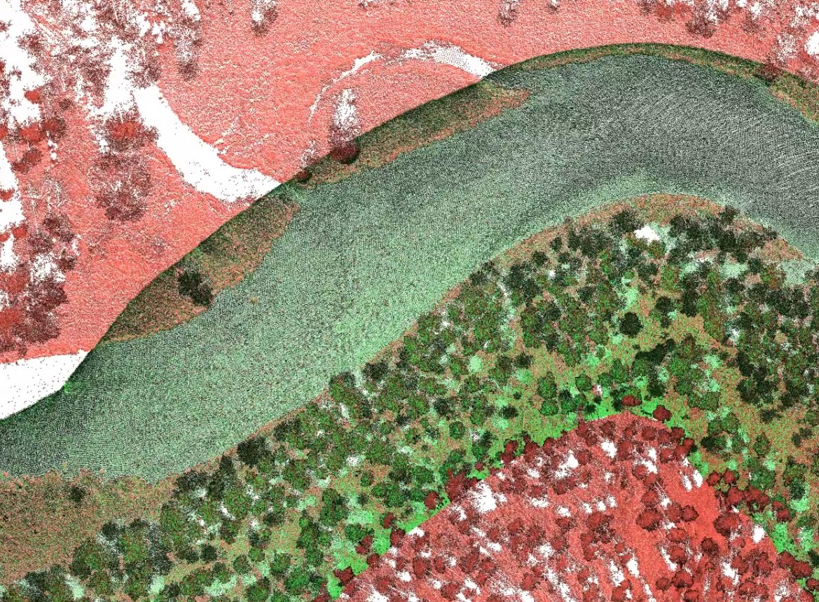
The bathymetric scanner category is specifically designed for aerial mapping of coastal areas, rivers and shallow bodies of water. Unlike traditional laser scanners that only measure the contours of the land surface, RIEGL bathymetric systems utilize a green laser that is able to penetrate the water surface and accurately measure the contours of the bottom.
The biggest technological advantage is the ability to produce a seamless data set that combines the above-water terrain and the underwater bottom topography into a single entity. This eliminates the need for separate sonar surveys in shallow and difficult-to-navigate waters, saving significant time and costs.
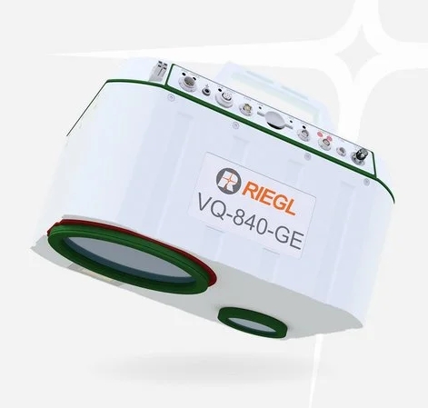
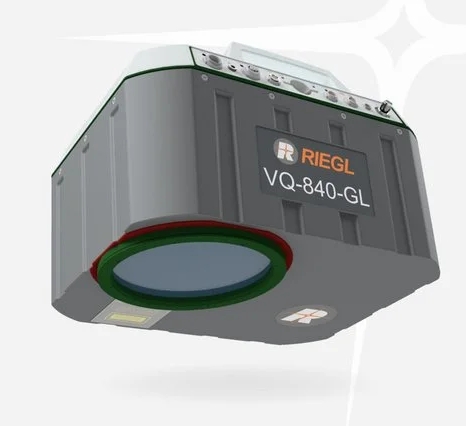
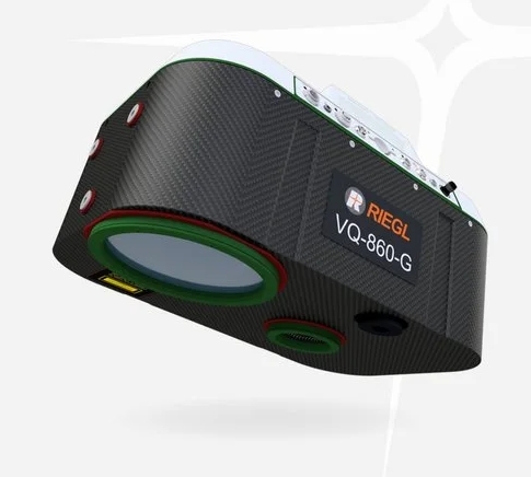
The differences between the devices are particularly focused on the measurement depth (Secchi depth), the point density and the mounting platform. The range includes ultra-lightweight ones, such as the one weighing only 5.7 kg VUX-820-G, which is optimized for medium-sized drones, rather than for coastal mapping at high altitudes that requires more robust systems.
RIEGL's Waveform analysis plays a critical role in this category; it distinguishes between water surface reflection, noise caused by water turbidity, and the actual bottom echo. The result is a clean and reliable point cloud that can be used in flood risk analysis, environmental research, and waterway maintenance, among other applications.
LASER SCANNERS

Why choose RIEGL technology?
Riegl's LiDAR technology doesn't just measure distances, it analyzes the world.
