Laser scanning in land surveying
Modern surveying demands ever greater accuracy, shorter turnaround times, and the ability to manage vast amounts of data. Laser scanning (LiDAR) has revolutionized the way surveying professionals collect and analyze spatial data. It is not just an alternative to traditional methods, but an essential tool for demanding mapping projects.
Laser scanning not only enhances the daily work of a surveyor, but it also raises the quality and accuracy of the final product to a level that meets the requirements of future smart urban and environmental planning.
What is laser scanning used for in land surveying?
Laser scanning creates highly accurate, three-dimensional point clouds of terrain, structures and the environment. In land surveying, the technology is particularly used for:
- For topographic mapping: modeling of land forms even under dense vegetation.
- For mapping large areas: Aerial laser scanning enables rapid digitalization of municipalities, forests and infrastructure.
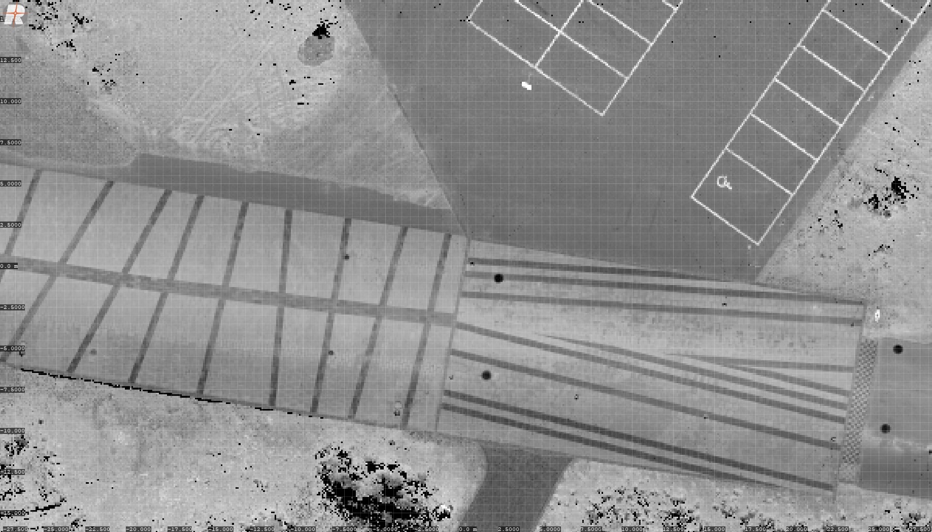
- Updating the base map: Smaller areas can be measured statically, with a drone and/or mobile laser scanning.
- To create digital terrain models (DTM): Accurate models are the basis for all design and construction.
- Mapping of water bodies: Bathymetric (green) laser scanners measure the contours of the water body bottom.
- For change tracking and analysis: monitoring of structures, calculation of land masses, erosion studies and monitoring of coastlines.
How does laser scanning help professionals in their work?
Laser scanning eliminates many of the bottlenecks of traditional measurement and brings significant benefits to the workflow:
1. Comprehensiveness and detail Unlike methods based on individual point measurements, laser scanning records everything that is visible. This means there is no need to return to the terrain to fill in the missing information – everything is already recorded at once with the accuracy of millions of points. The approach is the complete opposite of the sketchy mindset of architects – I only need 5 points to start with – where you would have to constantly return to the site for additional measurements.
2. Vegetation permeability One of the biggest advantages of laser scanning is the ability to ”see” through vegetation. Multiple returns (multi-target capability) allows for accurate ground surface modeling even in areas covered by trees and shrubs, which is almost impossible with traditional photogrammetry.
3. Occupational safety and accessibility Laser scanning enables data collection from a distance. The surveyor does not have to travel through dangerous terrain, steep slopes or busy roads. Remote measurement saves time and minimizes risks.
4. Efficiency and speed Mapping large areas that would take weeks with a total station can be done in a fraction of the time with laser scanning, speeding up project completion and enabling rapid response to customer needs.
5. Reliable data to support decision-making The resulting point cloud is an incorruptible replica of reality, providing a solid foundation for design, construction, and asset management, reducing the potential for errors and costly surprises on site.