RIEGL Survey airplane

Airborne laser scanners

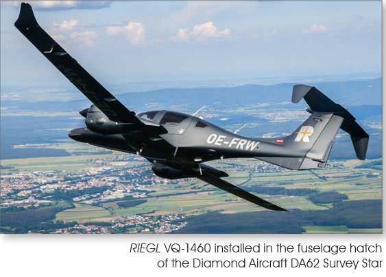
The airborne laser scanning category includes different types of laser scanning systems, all of which can be used to measure from a moving platform such as an airplane, helicopter, and autogyro.

The biggest differences between the devices are in measurement accuracy, the speed of the platform enabled by the device, and the flight altitude. It is worth remembering that the category of drone scanners partially overlaps with airborne laser scanners.

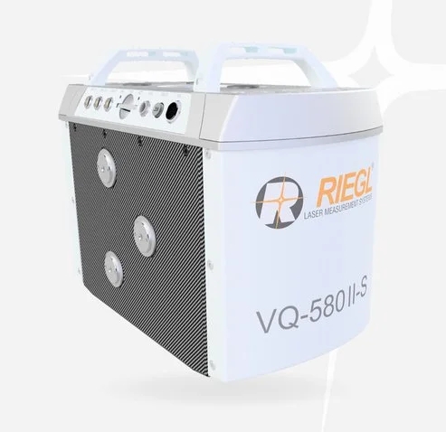
RIEGLThe goal is to have the most even point cloud distribution possible, which is why the measurement point distribution can be planned in advance with a free RiPARAMETERtool. In addition to the scanning system used, boundary conditions such as the desired flight altitude and speed are entered into the program, which then calculates other necessary information and displays the point pattern. The point distribution can also be further optimized if the result is not as desired.

RIEGL scanners produce different dot patterns and from 2023 up to five profiles simultaneously!

The links open to the device manufacturers' websites, where you can find up-to-date information about the scanners. By contacting us, we will also tell you more about the devices.

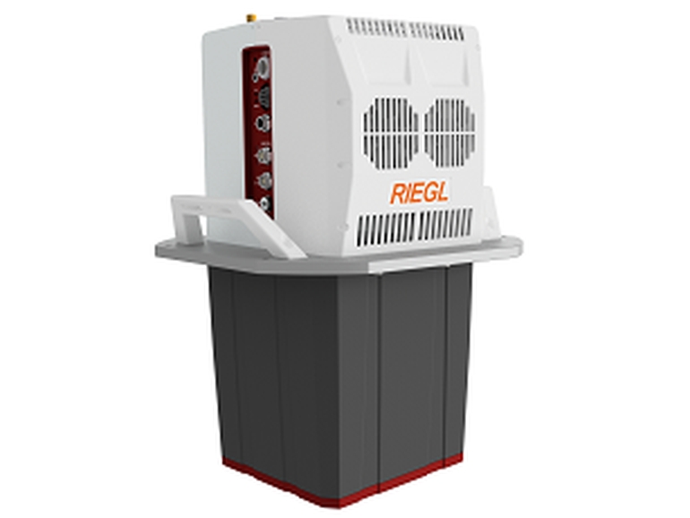
READY-TO-MEASUREMENT SYSTEMS
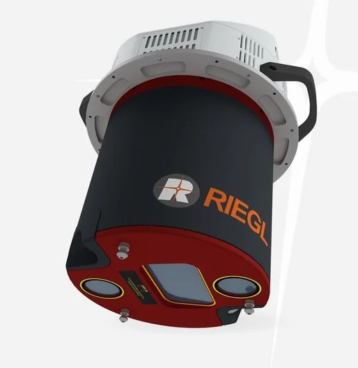
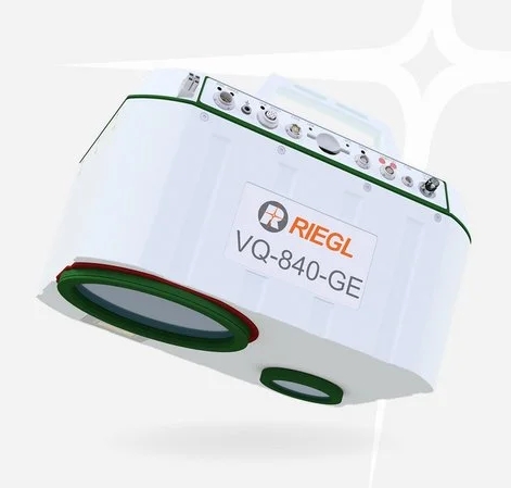
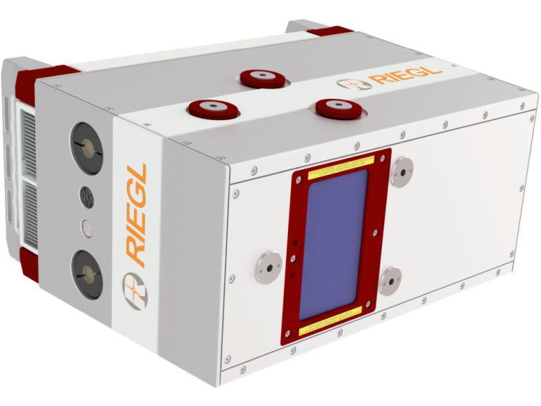
LASER SCANNERS

Why choose RIEGL technology?
Riegl's LiDAR technology doesn't just measure distances, it analyzes the world.

  • Ultimate LiDAR Technology: RIEGL is known for uncompromising accuracy, reliability and innovative waveform processing. Unique waveform-based digitization enables extreme accuracy and the ability to see through dense vegetation – where other scanners go blind.

  • Unlimited number of echoes (Multi-Target Capability): A single laser pulse can produce countless measured points as it passes through obstacles. This is critical in terrain modeling under dense vegetation.

  • Signal quality analysis: The sensor records not only the location, but also the shape and intensity of the reflection. You get cleaner data and automatic object classification (e.g. asphalt vs. gravel) directly from the waveform.

  • Demanding multi-target situations: The technology can filter out interference, such as false echoes caused by dust or rain, allowing the time required for post-processing is significantly reduced..

  • Durability and quality: The devices are designed to withstand heavy professional use and demanding field conditions year after year.
    Seamless workflow: RIEGL software offers an efficient path from data collection to finished, high-quality point clouds.

  • Not a startup company: These laser scanners have been used to survey several countries around the world, including Finland, millions of kilometers of roads, cities and nature.

  • After-sales service and support: At Nordic Geocenter, we offer full expert support and training for all systems we represent.